


Note: this tool is updated in XTools Pro 16.1
About Extracting Maps
Purpose
This tool is aimed to extracting any specified map areas or whole maps preserving all rendering and symbology settings.
Description
The "Extract Map" tool allows exporting a part of the map or a whole map into a new map. Extracted map remains integral after transferring to another computer. Extracted data can be saved either in shapefile format or as a personal or file geodatabase. Unlike simple batch clip operation the tool allows to copy all the rendering and symbology properties used in the map so that you do not just clip your data but extract required map areas.
As an example: you can use this tool to extract your county from the entire state or country map.
At that, the tool can still be used for advanced batch data clipping.
Extracting maps
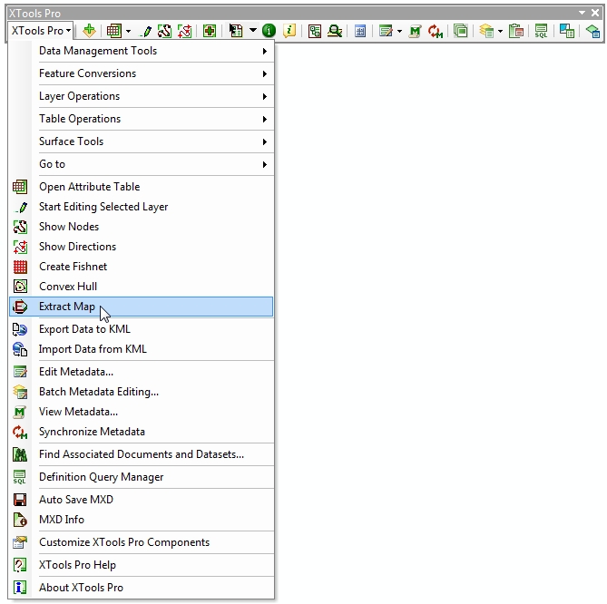
The "Extract Map" tool icon is activated if there is at least one layer added in the TOC window.
Click on the tool icon in the menu to open the tool wizard:
Buttons "Back" and "Next" in the tool wizard allow jumping to any step of "Extract Map" setting.
See also topics below to find out how to:
Note:
-
ArcGIS metadata will be extracted and updated along with the data, if existed for the input data
-
Labels and classes with expressions are not supported in the current version of "Extract Map" tool, this information will not be preserved in the extracted map
---