


Create Grid from Contours
Purpose
The tool is meant for creating grids from contour polylines. In other words, it converts contours into raster representation.
Description
Grid is a geographic representation of the world as an array of cells arranged in rows and columns. Each grid cell is referenced by its geographic X, Y location.
Contour and grid representations of geographic data are inter-convertible. This tool allows building grid of a certain cell size from contour layers.
Raster cell is a discretely uniform unit (square or rectangle) that represents a portion of the earth such as a square meter or square mile. Each pixel has a value that corresponds to the feature or characteristic at that site such as a soil type, census tract, or vegetation class.
Creating Grid from Contours includes two steps: triangulation and then interpolation. Prior to that grid parameters are to be defined.
Usage
-
Select the "Create Grid from Contours" tool from the XTools Pro Surface Tools menu.
-
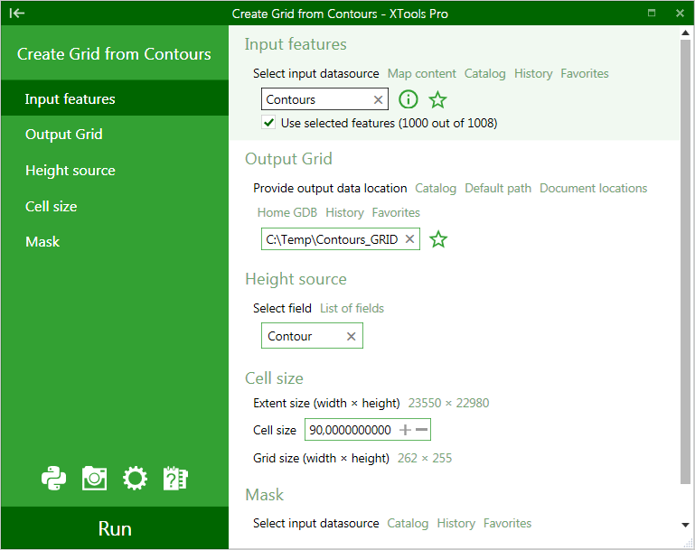
Select the input layer containing contours, a polyline layer to be converted into a Grid.
-
Specify output Grid dataset. Following formats are supported for storing new Grids: Esri GRID, EDRAS IMAGINE and TIFF.
-
Select a numeric field with height source values.
-
Specify Grid cell size in units of an input layer.
Extent wight and height as well as the calculated Grid width and height are represented at the same section..
The Grid width and height parameters must not exceed 8192. This limitation determines the minimum cell size.
-
Specify a mask polygon layer if required. If a mask is selected then output Grid will be generated only within the mask area.
-
Press Run to create a new Grid.
Note: the tool does not support 64-bit processing and always runs in foreground.
---