


Build Thiessen Polygons
Purpose
The tool is meant for building Thiessen polygons from point features.
Description
Thiessen polygons are the polygons generated from points and defined by the perpendicular bisectors of the lines between all points and drawn so that each polygon bounds the region that is closer to one point than to any adjacent point.
Another definition can be found in the Esri's GIS Dictionary:
"Polygons generated from a set of sample points. Each Thiessen polygon defines an area of influence around its sample point, so that any location inside the polygon is closer to that point than any of the other sample points. Thiessen polygons are named for the American meteorologist Alfred H. Thiessen (1872-1931)."
Building Thiessen polygons includes two steps - triangulation and building polygons.
Usage
-
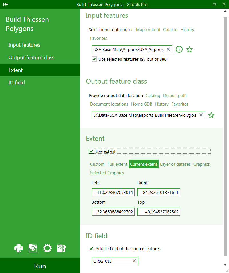
Select the "Build Thiessen Polygons" tool from the XTools Pro Surface Tools menu.
-
Select the input layer containing points to build Thiessen polygons for.
-
Specify the name and location of the output feature class.
-
Select to use extent if required and specify the extent.
-
Specify ID field to store input features IDs.
-
Press Run to build Thiessen polygons.
Selecting extent for the created Thiessen polygons you can choose from the following options:
-
Input features extent
- Thiessen polygons will be created for the input points extent. This is the default option used when the Use extent option is not selected.
-
Custom extent
- You can manually specify custom extent for Thiessen polygons.
-
Full extent
- Full extent of the map will be used.
-
Current extent
- Thiessen polygons will be created for the current map extent.
-
Layer or dataset extent
- You can select another layer in the map or any dataset from disk, extent of this layer or dataset will be used.
-
Graphics
- Extent of graphic elements on the map will be used.
-
Selected Graphics
- Extent of only selected graphic elements on the map will be used.
With any of the options above the outside boundary of the output Thiessen polygon feature class is the selected extent plus additional 10% (this can be switched off in the Customize dialog).
---