


Update Polygon Layer
Purpose
Update Polygon Layer tool creates a new layer by overlaying two feature layers. The features of the Overlay layer define the updating extent. UPDATE uses the updating extent in a "cut-and-paste" operation; Overlay layer features replace the area they overlap in the Input layer. The result is stored in the Output layer. Both the Input and Overlay layers must be polygon layers.
Description
Attributes of the Input layer are maintained in the Output layer. Each polygon shape in the Overlay layer will have one record in the Output layer. Attributes of the Overlay layer will be transferred to the Output layer, for those fields that have names and field types that match a field name and type in the Input layer.
UPDATE is one of several overlay operations available in XTools Pro. ERASE is similar to UPDATE, except that the input layer features which overlap the updating extent are erased instead of being updated. ERASE can also be used on polyline and point features.
Usage
-
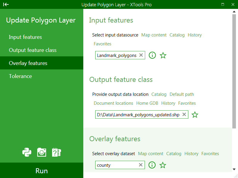
Select the "Update Polygon Layer" item from the XTools Pro Layer Operations menu.
-
Select the input polygon layer containing the features that you wish to update.
-
Specify the name and location of the output feature class.
-
Select the overlay polygon layer containing the features that you will use to update the features in the input layer.
-
Press Run to perform Update operation.
---