


Near
Purpose
The tool allows to find the nearest features from the same or other near datasets and calculates distances and other proximity information.
Description
The Near tool finds the closest features and calculates the following proximity attributes:
- Near distance (planar or geodesic)
- Closest feature ID
- Near dataset path
- Near point XY coordinates
- Near angle
Calculated attributes are added to the input dataset. Processing only selected features in both the input layer and near layers is supported, in this case "-1" values will be assigned to the unprocessed features.
Both the input and near features can be points, multipoints, polylines, and polygons. At that, it is possible to search for nearest features in a few near layers.
Usage
-
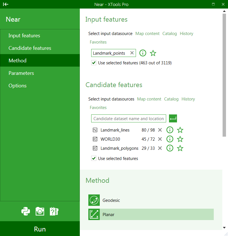
Select the "Near" tool from the XTools Pro Layer Operations menu.
-
Select input layer.
-
Select layer(s) with the candidate features, input layer can be selected here as well. Near features can be found for either all or only selected features in both input and near layers.
-
Select to use either geodesic or planar distances.
-
Select proximity attributes and optionally specify/change field names.
-
Specify search radius and select search radius units.
-
Press Run to find nearest features.
Adding geodesic distances.
The nearest features are always found using planar distances, but for adding distances to the table there is an option to add them as geodesic distances. At that, you can select distance units:
- For datasets in geographic coordinate system you can select units if you selected to add geodesic distance.
- If you did not select to add geodesic distance for a dataset in geographic coordinate system then you cannot select units (distance will be added in degrees).
- For datasets in projected coordinate system you can always select units, no matter if you add geodesic or planar distance.
Note:
It is recommended to use the Geodesic method for datasets in geographic coordinate systems and datasets covering large geographic areas.
---