


Feature Report
Purpose
Feature Report tool allows creating reports on the selected feature(s).
Description
XTools Pro Feature Report tool is an additional and alternate way for creating reports in ArcGIS. Feature reports display feature geometry and include attribute and geometry information derived from the selected feature(s). Created reports can be modified, printed or exported to MS Word application for editing or distribution purposes.
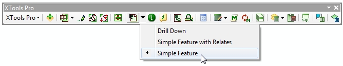
Currently there are three report templates provided with the tool:
-
Simple Feature
-
Simple Feature with Relates
-
Drill Down
Simple feature reports contain information about one selected feature of a feature layer: feature geometry, attributes and geometry properties. Feature can be drawn as a simple contour, drawn with a current symbol used in the map, or a part of the map with all other layers can be displayed.
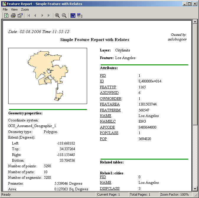
Simple feature reports with relates are basically the same as simple feature reports but in addition they allow to display the relates if any tables are related to the feature class.
Drill down reports display information about all the layers found under cursor: features geometry, coordinate system, units, number of layers, layer names and features attributes (displayed attribute is taken from the layer's primary display field).
Besides, since the 3.2 version Feature Report also supports joins. If there are any tables joined to the target feature class attribute table, then by default joined attributes will be displayed in reports. At that, there is an option in the Report properties allowing to hide joins. Note, this option takes affect after closing and opening the Report window.
Creating Feature Reports
To start creating reports with the Feature Report tool select the tool in the XTools Pro toolbar and a report template to be used:
If you choose to create Simple Feature reports then you need to select also a feature layer in the table of contents window. After you selected a layer click on a feature that you wish to create a report for. If there are several features found under cursor choose one from the prompted list:
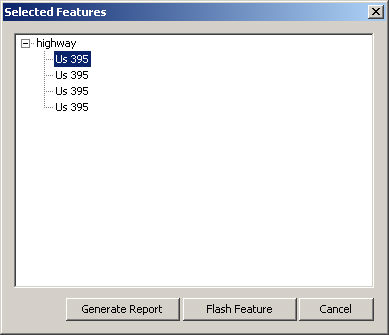
Choosing a required feature you can flash features to see them in the map. If the feature you need is not found under cursor press Cancel and click on another location in the map. After you have chosen the required feature you can finally generate a report. Press the corresponding button and the report will be generated and displayed in a separate window:
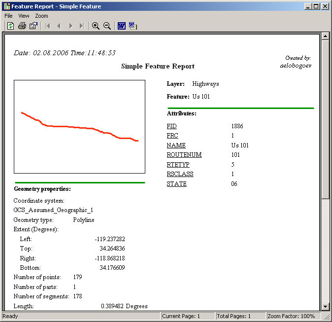
Attributes values in Simple Feature reports are displayed according to the fields settings specified in the layer properties.
Simple Feature reports with relates created on the features with related tables display an additional section "Related tables" in the lower right corner (or on the next pages if there are too many attribute fields):
If you choose to create Drill Down reports then you do not need to select a layer in the table of contents window. Just find an appropriate location in the map and click on it with the Feature Report tool. Drill Down report will be generated and displayed in a separate window:
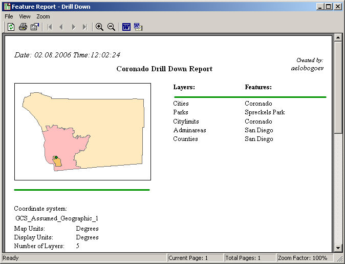
Layers order in Drill Down reports is the same as the layers order in the table of contents window.
Generated feature reports can be modified, refreshed, printed out, exported to MS Word application, or sent by email.
Modification capabilities in the Report properties include changing a report title, feature rendering properties and measuring units displayed in the geometry properties section of the generated report.
---